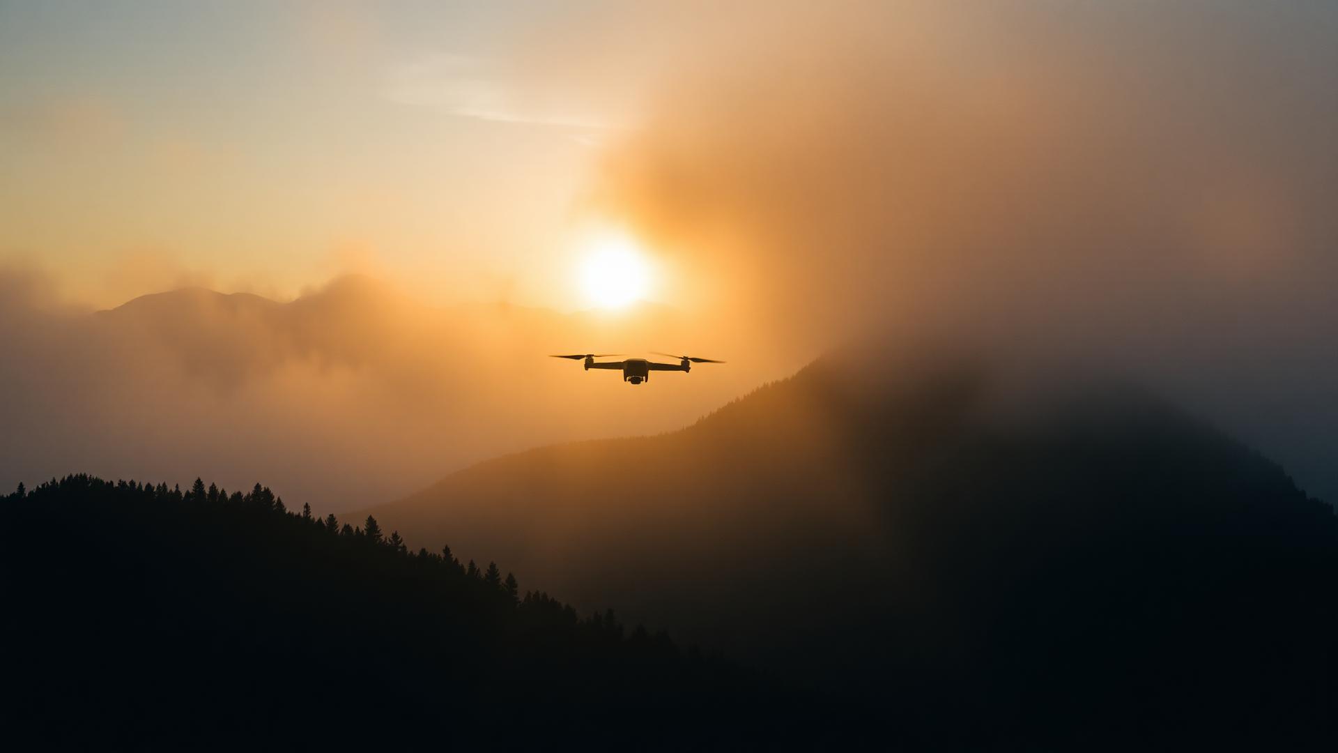
Aerial view of misty mountains at golden hour
Aerial Data & Imaging

Filmed safely.Operated legally.Captured with passion.

The drone is the tool. Aviation is the method.

Aerial imaging and aerial data acquisition, delivered with an aviation mindset: missions prepared in detail, coordinated with the people involved, and flown to produce a deliverable that holds up.

What we do

Three pillars

A drone is an aerial data acquisition platform, not just a camera. Missions are built around what the image — or the data behind it — has to deliver, and around the preparation it takes to get there.

01

AERIAL IMAGING

Aerial photography and video built around the final result: composition, light, movement and the quality of the delivered imagery.

  • Aerial photography
  • Aerial video
  • Commercial & creative content
  • Real estate, tourism & events
02

AERIAL DATA

Aerial imagery transformed into useful information to measure, document, visualise or monitor a site.

  • Photogrammetry
  • 3D modelling
  • Volumetry & earthworks
  • Orthophotos & mapping
  • Construction progress monitoring
  • Visual inspection
03

MISSION MANAGEMENT

Some images are straightforward to capture. Others require understanding the airspace, preparing the necessary authorisations and coordinating multiple stakeholders before the aircraft can even take off. That preparation is part of the mission.

  • Feasibility assessment
  • Airspace assessment
  • Regulations & authorisations
  • Operational documentation
  • Air Traffic Control & authority coordination
  • Coordination with other airspace users
  • On-site operational management

Selected Work

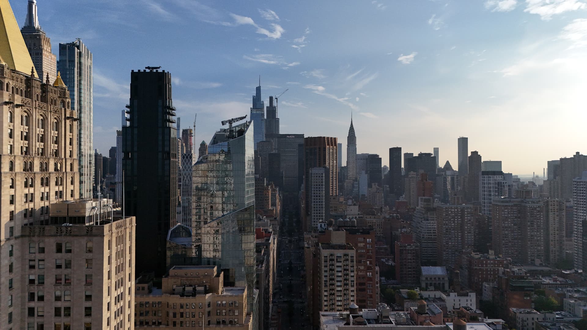
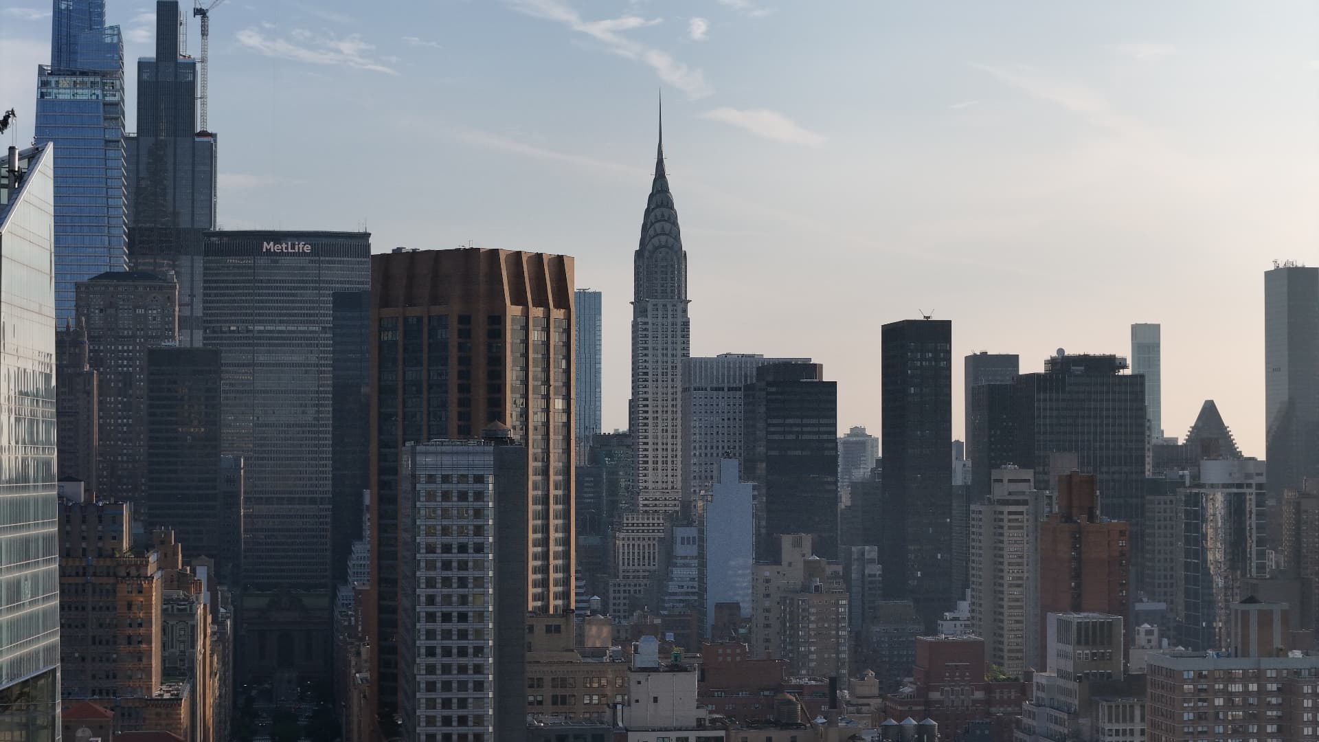
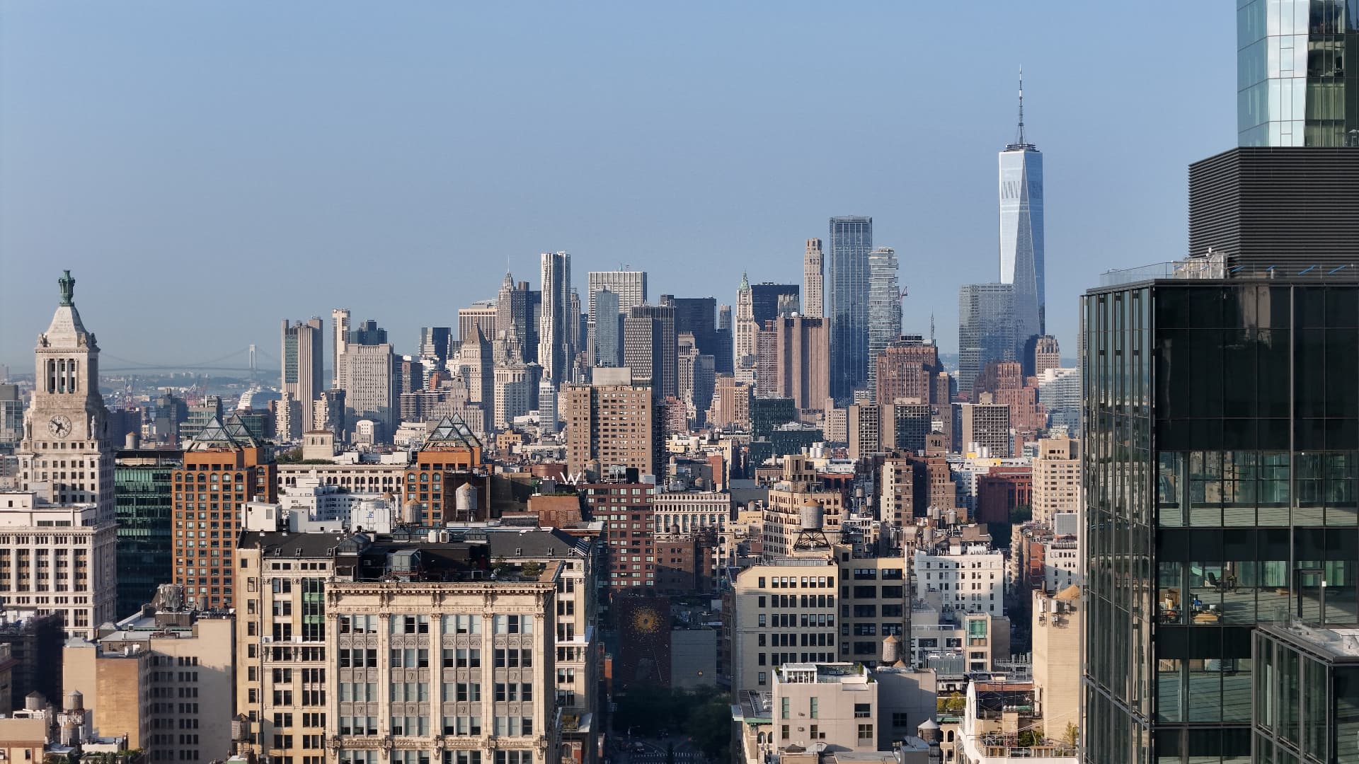
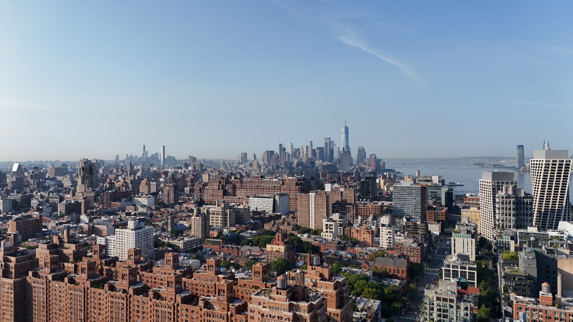
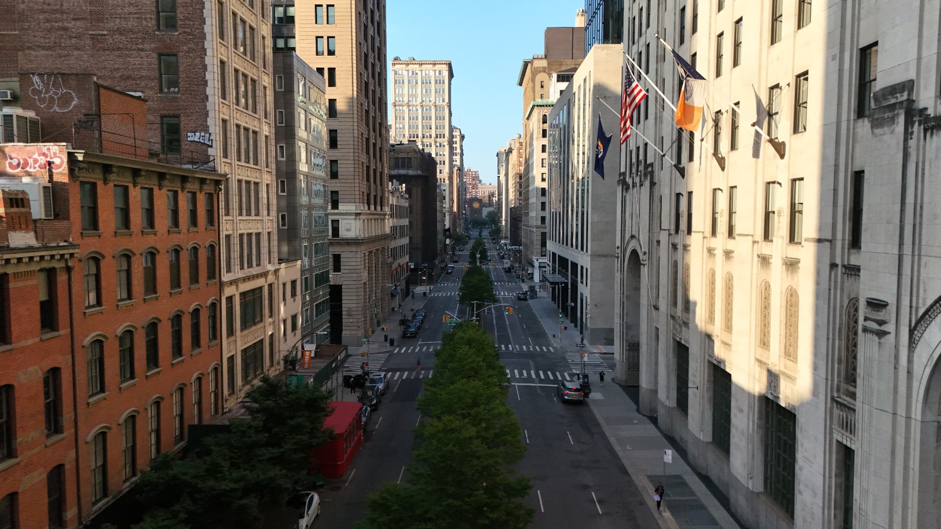
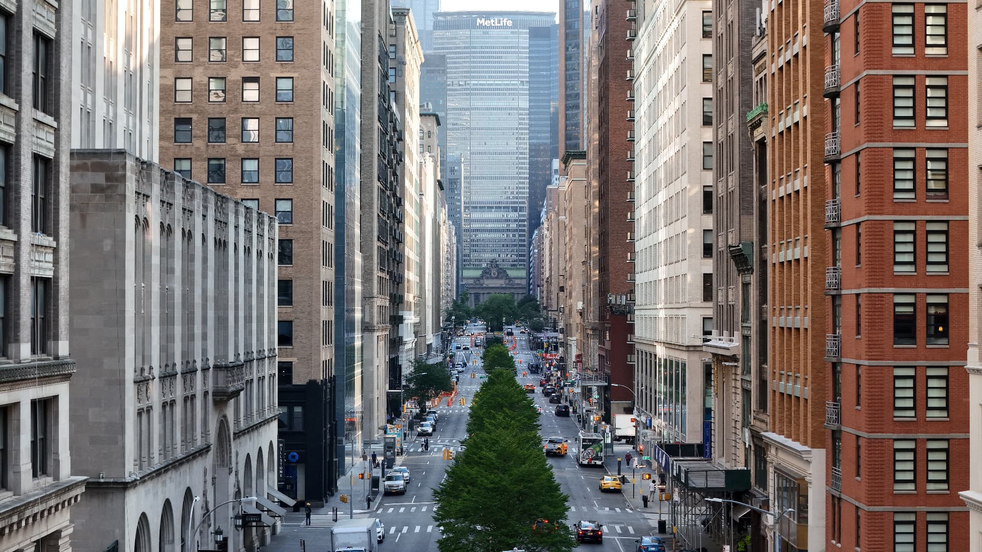
Aerial view of a Manhattan avenue with the MetLife building in the distanceMidtown Manhattan skyline at dawnChrysler Building and Midtown skylineDowntown Manhattan skyline with One World Trade CenterWide aerial cityscape looking south over ManhattanAerial view of a Manhattan street lined with buildings
01 / 06

New York City

Manhattan from above

Urban aerial imagery

Selected personal aerial work, captured legally in New York City.

Operating in New York required strict coordination with air traffic control and continuous awareness of surrounding traffic.

Le Slip Français

Le Slip visible depuis l'espace

Brand activation · Aerial filming

Contribution to the aerial filming · Selected aerial shots

Filming alongside a wider production team, with shots prepared to fit the sequence.

Brand project page
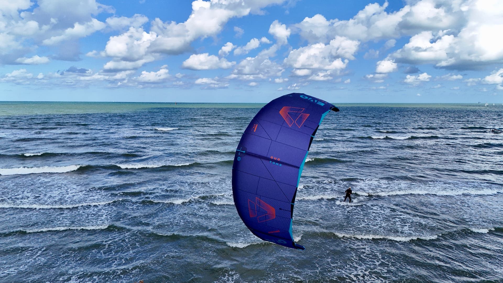
Kitesurfer off the coast at Koksijde, Belgium — aerial view

Coxyde / Koksijde

Coordination in a sensitive environment

Aerial imaging · Stakeholder coordination

Aerial work carried out in Coxyde (Koksijde), Belgium.

Mission execution required coordination with air traffic control and, following an on-site check, liaison with military intelligence and law-enforcement services.

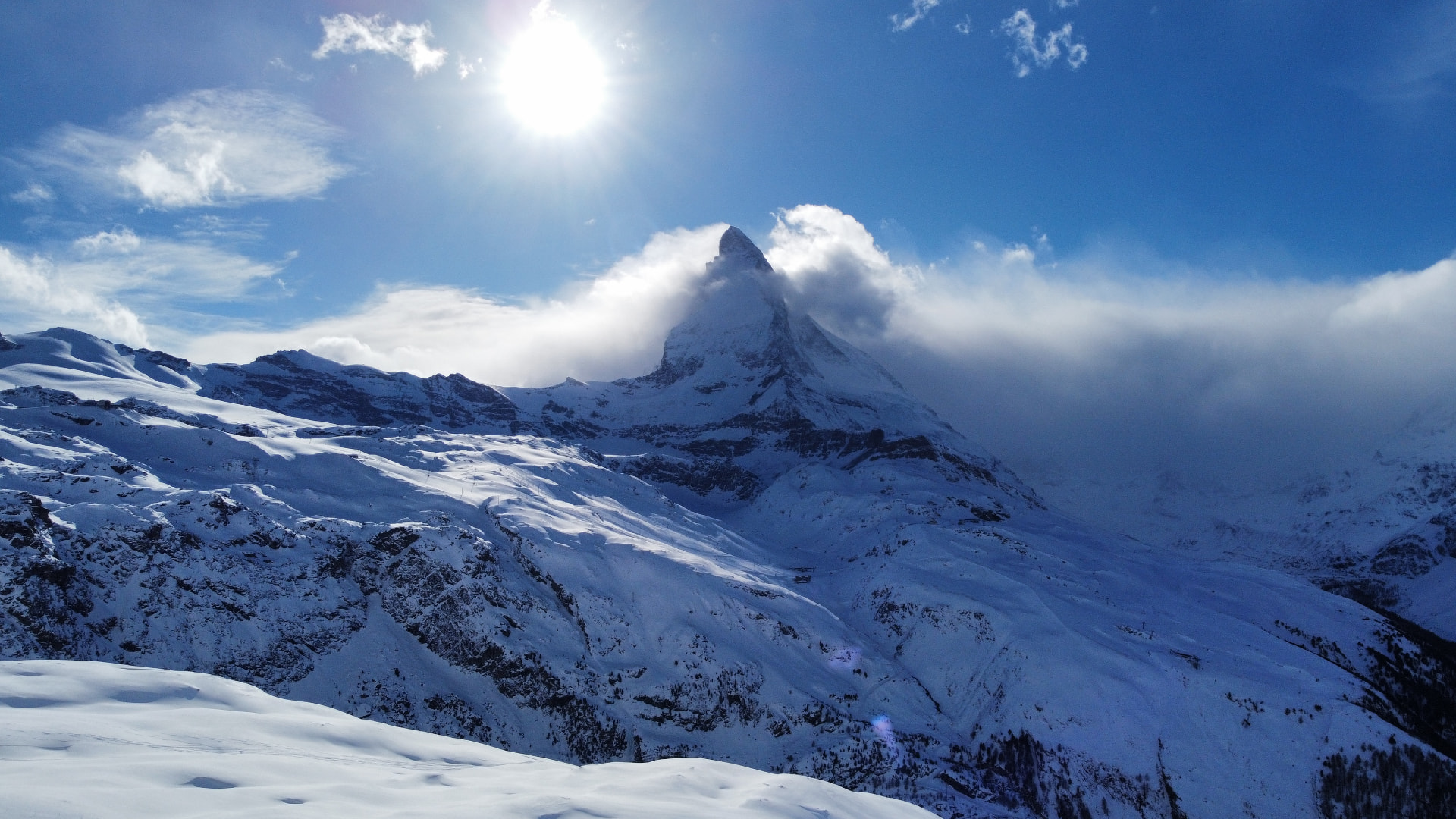
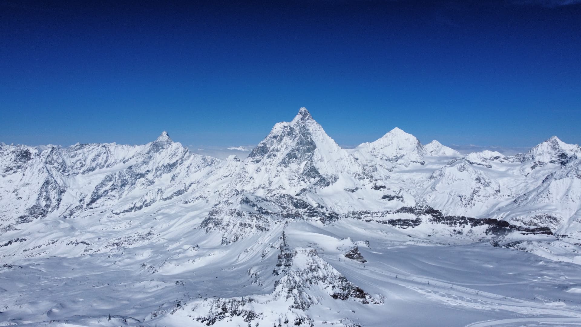
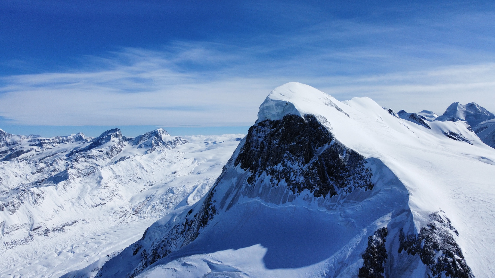
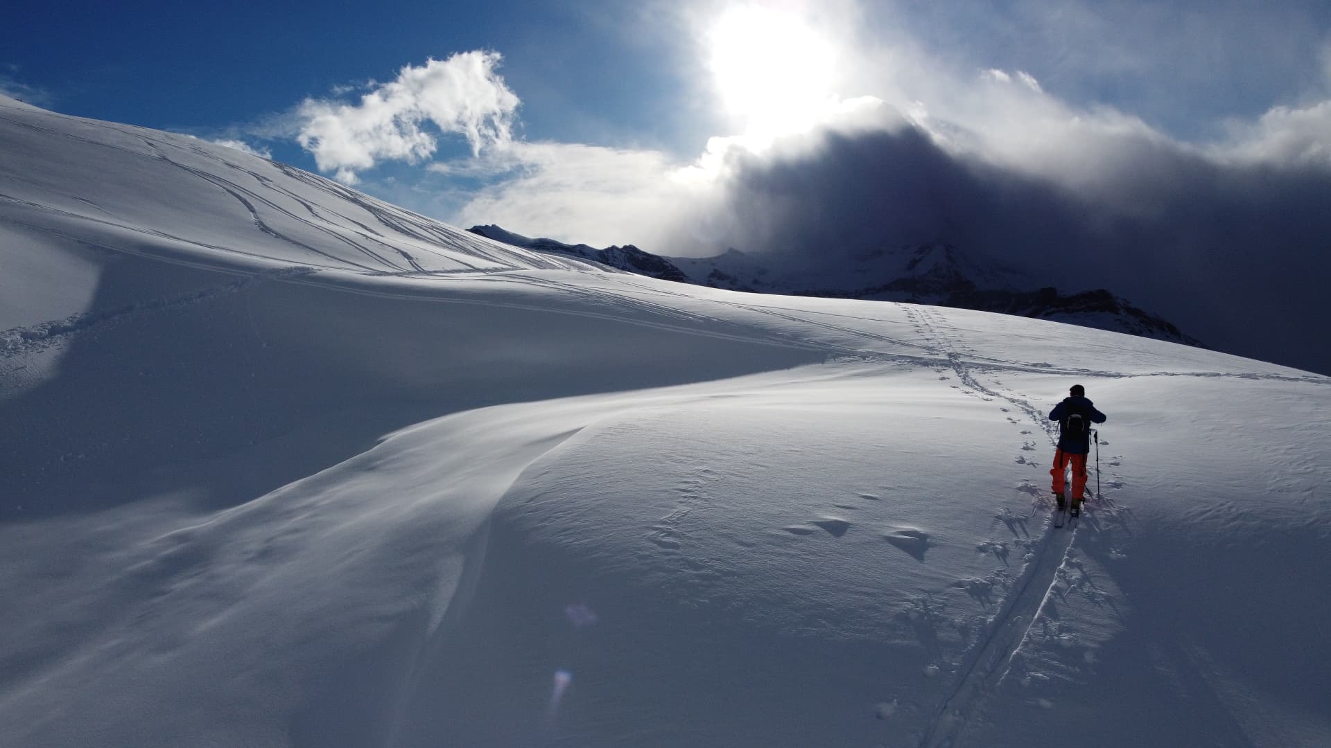
The Matterhorn emerging from the clouds above snow-covered slopes — aerial view, ZermattPanorama of the snow-covered Alpine peaks around Zermatt under a clear skySnow-covered Alpine summit above a sea of clouds — aerial view, ZermattSki tourer crossing a wide snow-covered glacier slope with the sun breaking through the clouds, Zermatt
01 / 04

Zermatt

Alpine aerial operation · Mission coordination

Aerial work carried out in Zermatt, Switzerland.

The mission was coordinated with the local helicopter operator and supported by a detailed operational dossier defining the planned operating zones.

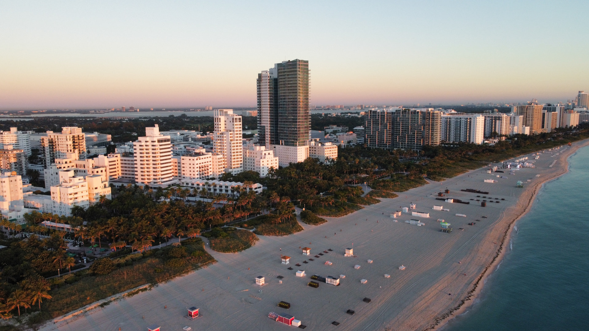
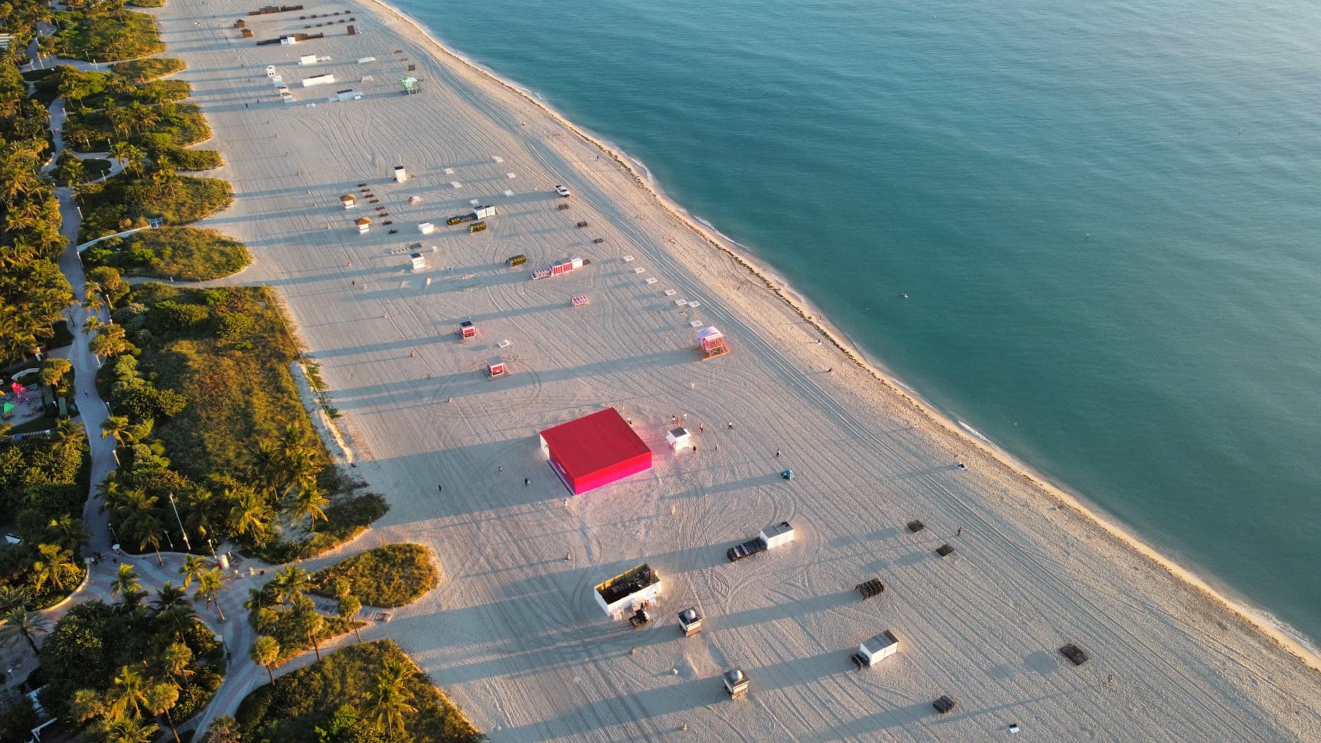
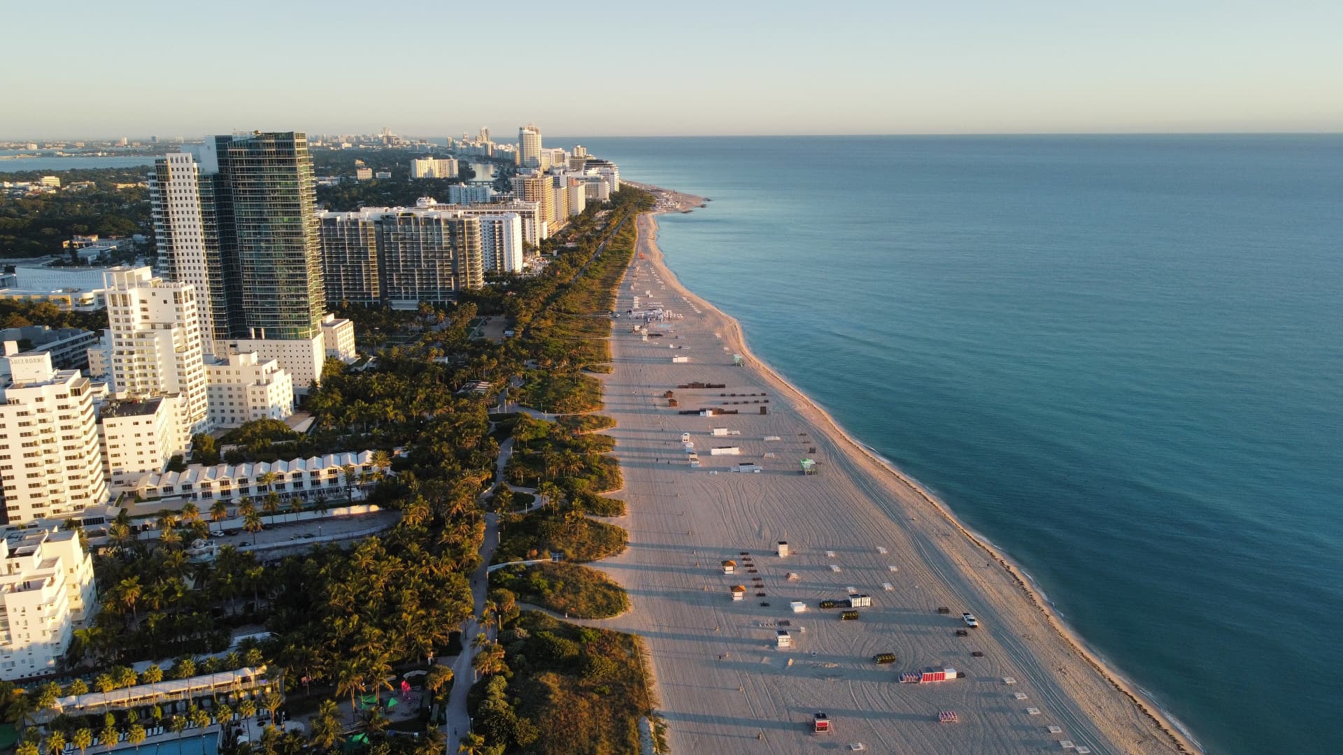
Miami Beach shoreline and oceanfront towers at sunrise — aerial viewAerial top-down view of Miami Beach sand, palm groves and turquoise waterAerial view along the Miami Beach coastline with the city skyline at golden hour
01 / 03

Miami — Art Basel

Aerial imaging

Aerial work carried out in Miami Beach, United States, during Art Basel week.

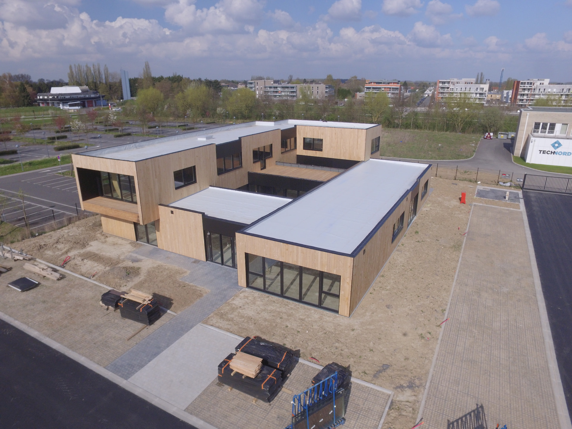
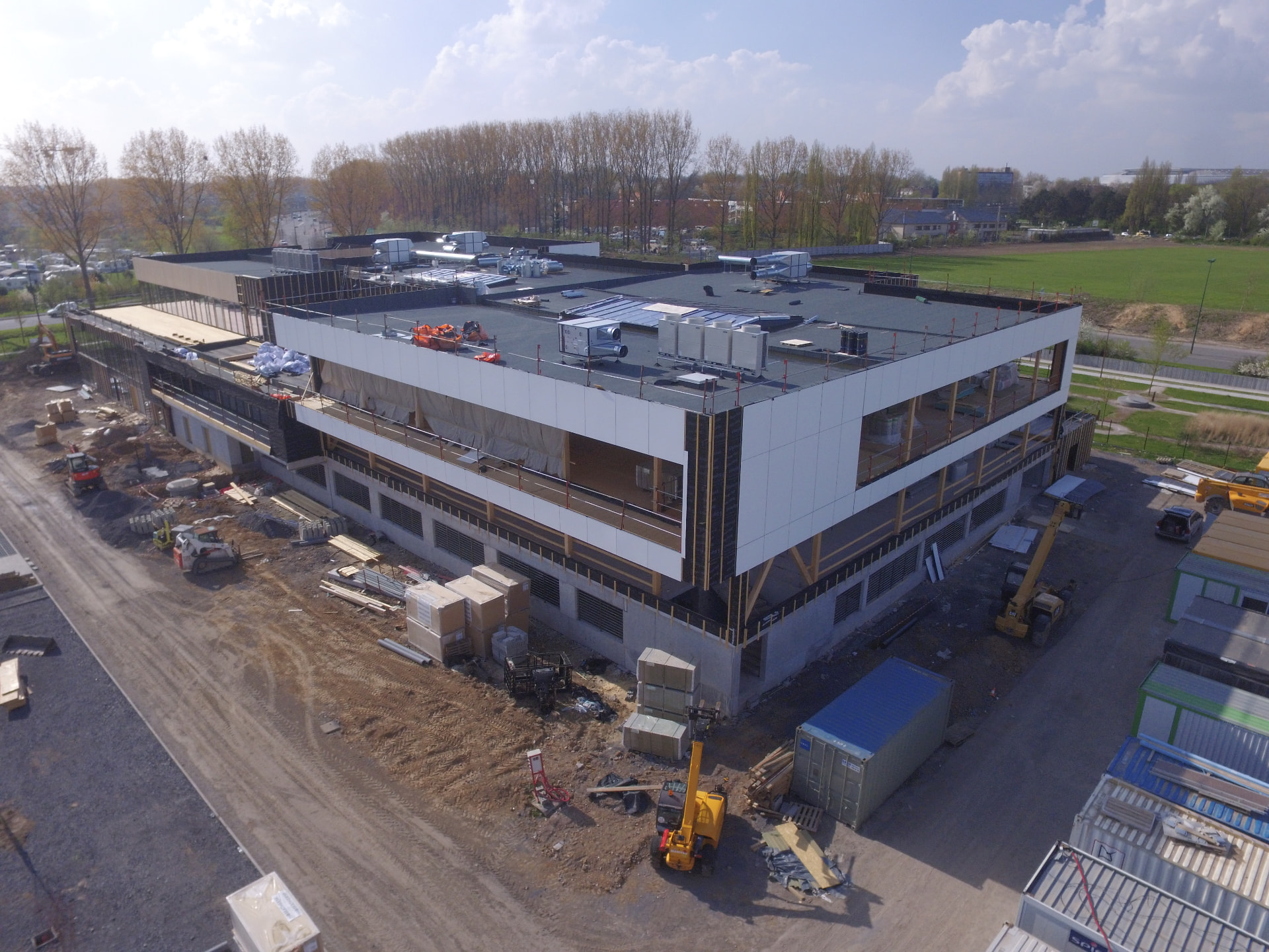
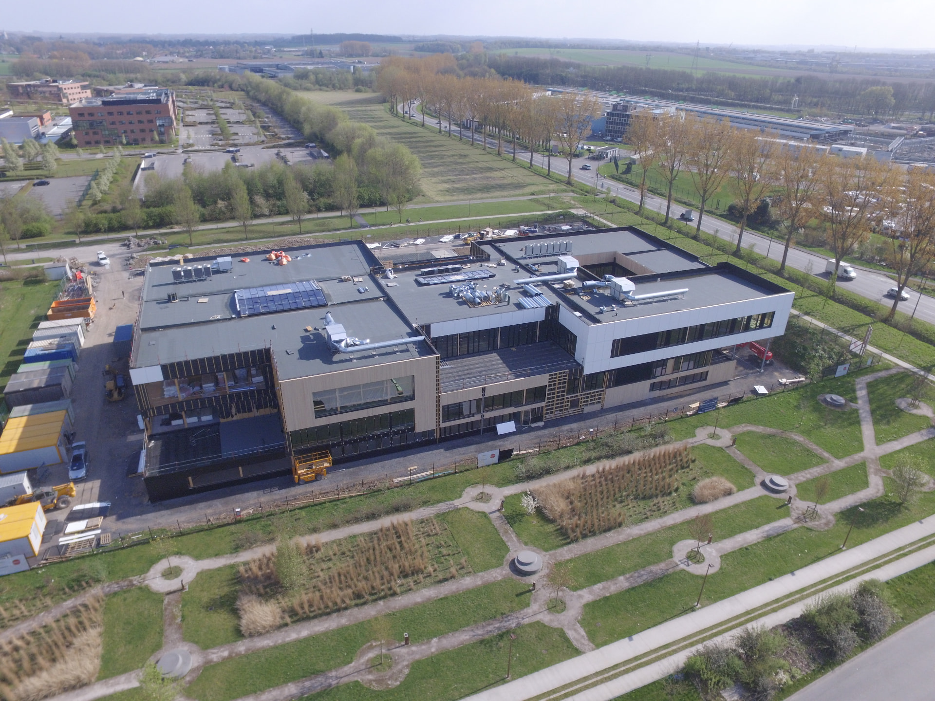
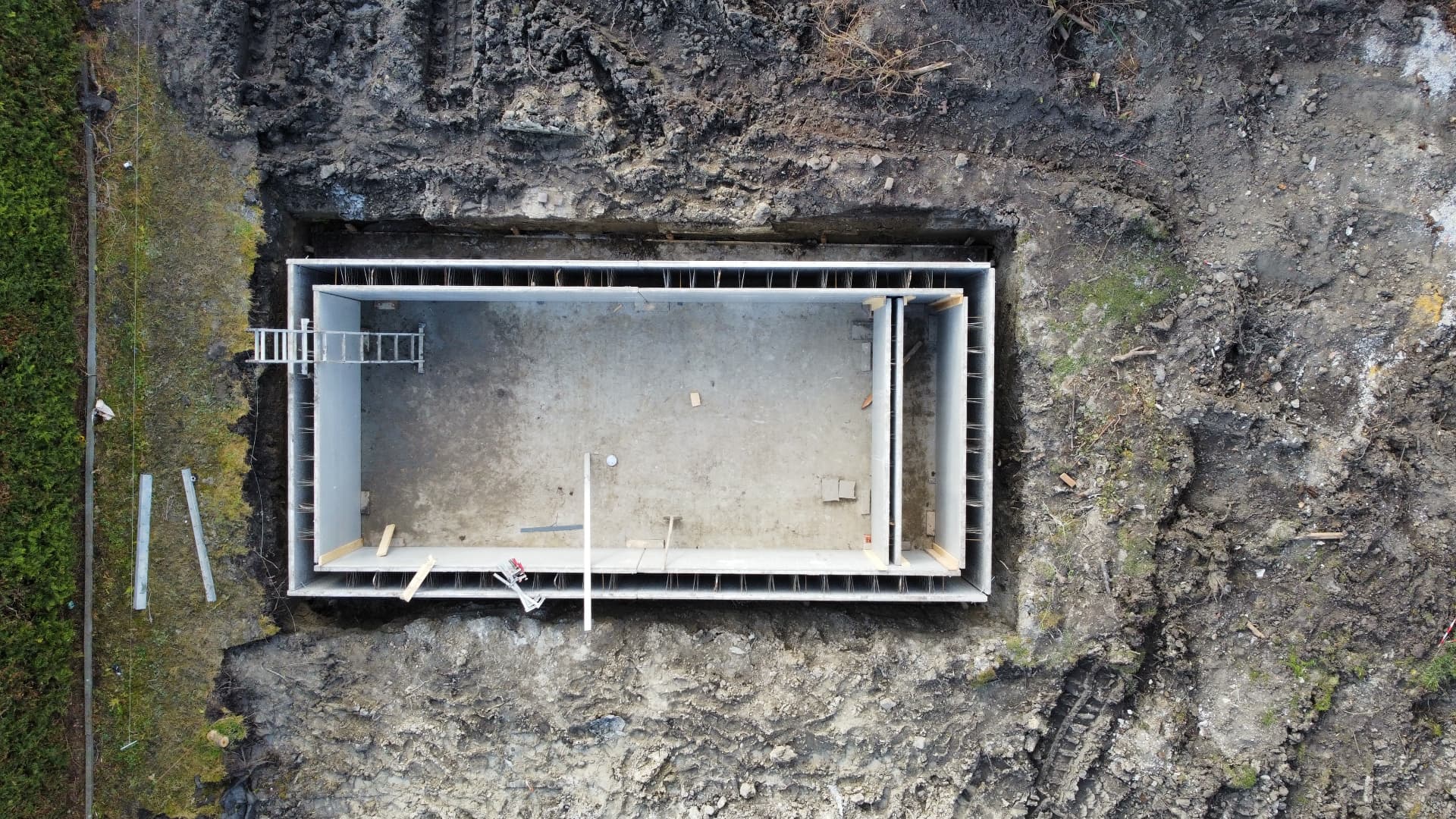
Aerial view of a modern timber-clad building with a flat roof on a developing siteAerial view of a multi-storey building under construction with structural timber and white claddingAerial view of a large contemporary building complex with flat roofs and surrounding roadsTop-down aerial view of a rectangular concrete foundation structure under construction
01 / 04

Earthwork volumetry

Photogrammetry · Volume estimation

Drone photogrammetry used to estimate the volume of earth to be removed from a construction site.

Flight pattern and site constraints prepared beforehand so the capture would support the volume estimation.

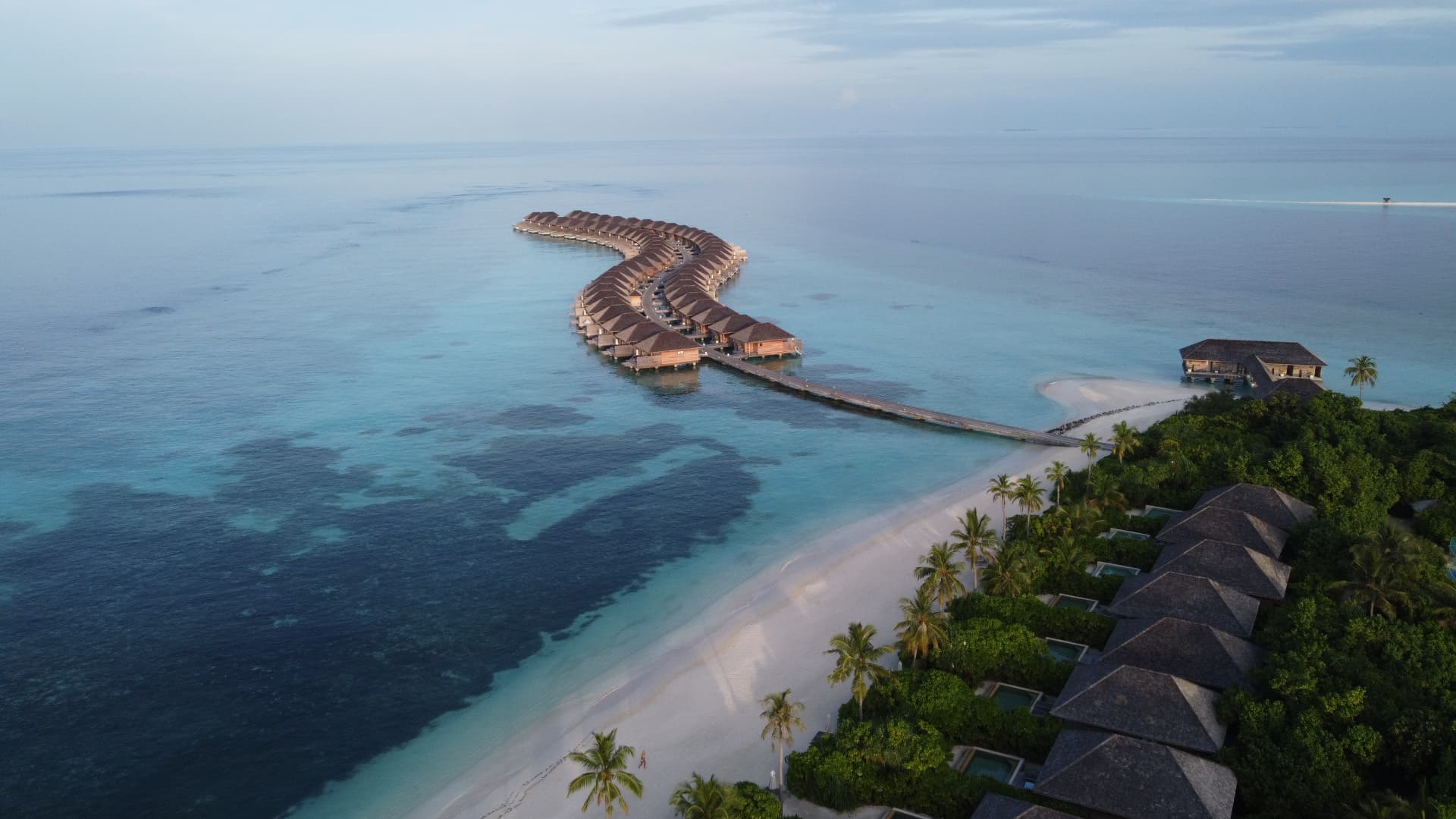
Aerial view of overwater villas stretching along a turquoise lagoon, Maldives

Maldives

Aerial operation · Regulatory coordination

Aerial work carried out in the Maldives.

The operation involved obtaining the required permission from the CAA and coordinating with local seaplane operators.

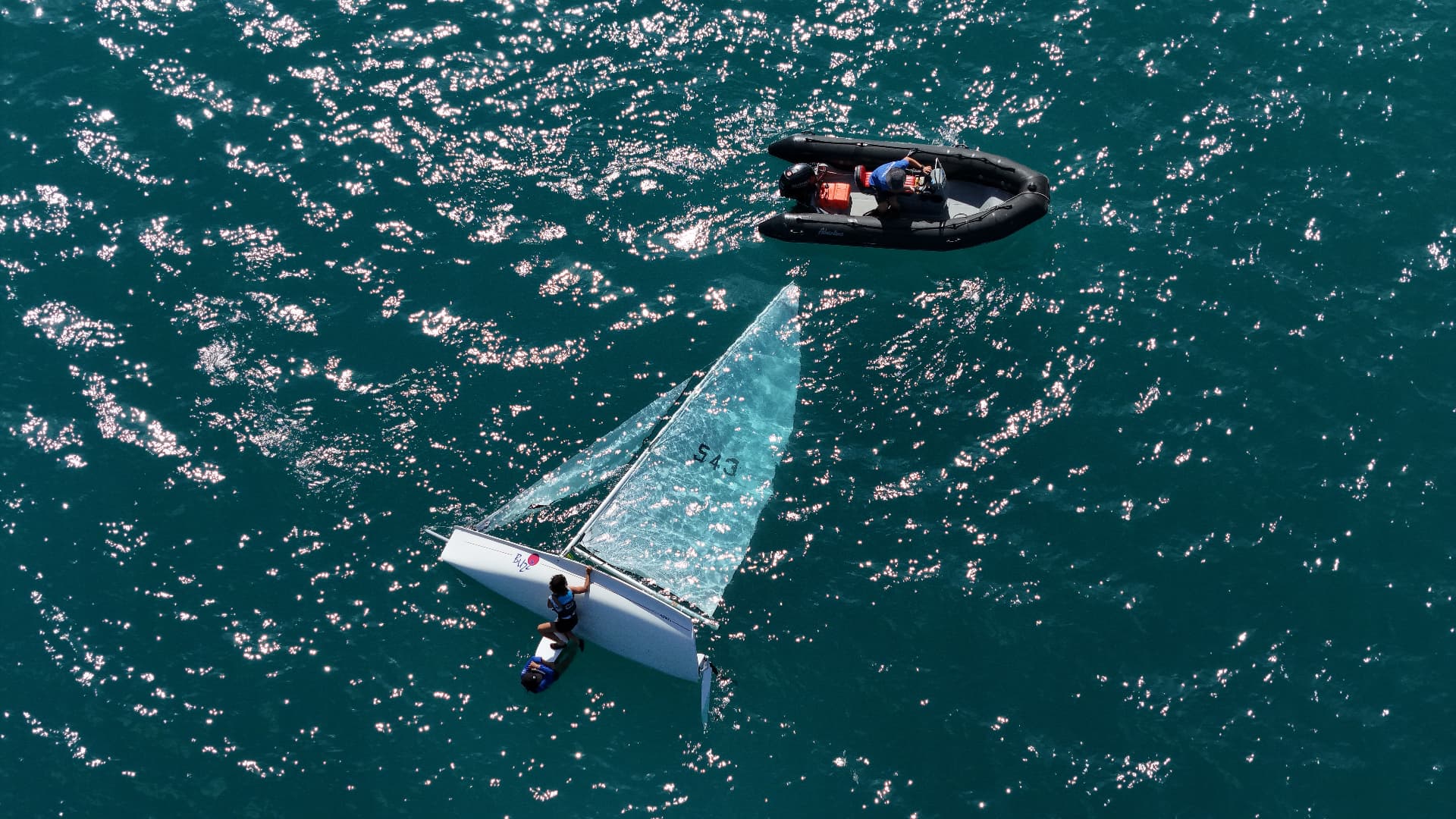
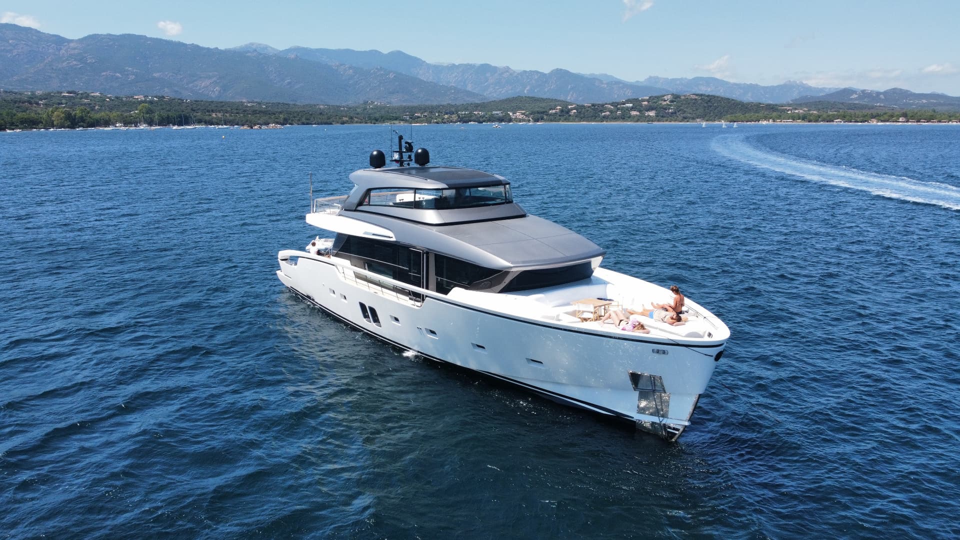
Aerial top-down view of a yacht on turquoise water with people relaxing on deckAerial view of a sailing dinghy and support rib on sparkling blue waterAerial view of a modern motor yacht cruising in a calm blue bay with mountains in the distance
01 / 03

Marine aerial

Aerial imaging · Marine

Aerial imagery of boats and marine environments — compositions shaped by water, light and movement.

Mission Management

Flying is only part of the mission.

Some flights are straightforward. Others require understanding the airspace, preparing the necessary authorisations and coordinating multiple stakeholders before the aircraft can even take off. Every mission is prepared, documented and coordinated with the discipline of aviation operations.

01

Mission preparation

Site review, feasibility, access, constraints and flight plan worked out before anyone is on location.

02

Airspace & regulations

Assessment of the flight environment, regulatory research and the right authorisations — including coordination with Air Traffic Control and authorities where required.

03

Documentation & coordination

Operational dossiers and liaison with the parties involved — client, production team, authorities and other airspace users.

04

On-site execution

Briefing, decision-making on site and the quality of what is captured. Underpinned by ten years of professional aviation operations experience.

Qualifications & registrations

  • EASA Open A1/A3 remote pilot competency
  • EASA registered UAS operator
  • FAA TRUST certificate holder
  • FAA registered UAS
European operations

European drone regulations provide a common framework, but every operation remains subject to national geographical zones, local airspace constraints and applicable procedures.

Owning a drone and knowing how to fly it doesn't mean you can operate it anywhere.

Complex airspace doesn't stop the mission. It changes how we prepare it.

Illustrative representation — always consult the current official national UAS geozone data before an operation.

European operations are prepared country by country, using current local rules and airspace data.

About

Aviation has been part of my life for as long as I can remember.

Photo to come
Built for the field — SQI mobile operations kit.

For the past ten years, I have worked in flight operations across several airlines and business aviation operators, building hands-on experience in operational planning, regulations, procedures and coordination.

Alongside aviation, I have always been involved in aeromodelling — and later drones, with a particular interest in multirotor aircraft. What started as a hobby naturally became another way of combining aviation, technology and imagery.

For me, flying is only part of it. I genuinely enjoy understanding the aircraft, maintaining the equipment and improving the way I operate. That same mindset led me to develop my own mobile drone operations kit: a self-contained field workstation designed around preparation, monitoring and efficient operations on location.

SQI Drone Services brings those worlds together: a passion for aerial imagery, ten years of professional aviation operations experience, and the same attention to preparation whether the mission is straightforward or requires permits, documentation and coordination with multiple airspace users.
Basile Desquiens

Founder — SQI Drone Services

Pricing

Tailored to the mission

Every mission is quoted individually — no fixed packages. Tell me what you have in mind and you get a clear proposal.

What the quote depends on

  • Location and travel
  • Flight environment and constraints
  • Coordination required
  • Mission duration
  • Requested deliverables
Request a quote

Simple missions from €250 excl. VAT

This starting point covers straightforward local missions. The final quote depends on location, operational complexity and coordination, mission duration and the requested deliverables.

Quotations on request. Prices excluding VAT.